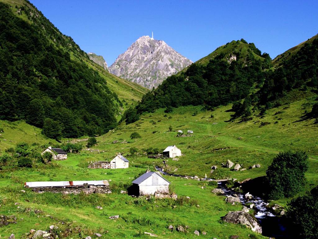
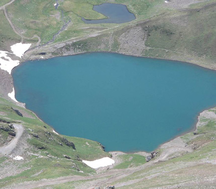
The Pic du Midi and Lac d’Oncet
LA MONGIE , Hautes-Pyrénées – Itinéraire
Caractéristiques
Type of footpath : PR®, ‘Promenade et Randonnée’ footpath.
Start and end point : car park near the Col du Tourmalet.
Length : 6.5 km.
Duration : 2 hrs 30.
Level : easy.
En route : Col du Tourmalet, Lac d’Oncet, views of the Pic du Midi, etc.
Find out more about the Pic du Midi,a Great Tourist Site in Midi-Pyrénées.
An easy and accessible way to explore the mountains at high altitude: this sums up this walk which leads you gently up to the Lac d’Oncet at an altitude of 2,254 m, at the foot of the Pic du Midi.
An easy and accessible way to explore the mountains at high altitude: this sums up this walk which leads you gently up to the Lac d’Oncet at an altitude of 2,254 m, at the foot of the Pic du Midi.
On the road up to the Col du Tourmalet from Barèges there’s a car park on the hairpin bend (the La Toue bend) where there is a sign for the start of the walk to the Lac d’Oncet. From there you set off on a there-and-back walk at high altitude along a pleasant and well waymarked footpath.
It’s quite a climb (height gain of 310 m) but a gradual one that’s not too taxing, leaving you to enjoy the beautiful scenery to the full. If the weather is clear you’ll get stunning views of the picturesque scenery, taking in the unforgettable panoramas and collecting some indelible memories.
The wild, rugged jumble of the Pyrenees on the horizon, the magnificent Néouvielle Massif in the distance and the steep bare crags all around you, clad in green velvet and matt rock: these are your surroundings on this walk. Along the way you’ll see sheep and perhaps even llamas roaming the summer pastures.
Pic du Midi, the magic mountain
Standing out like a beacon towering into the sky, the Pic du Midi is your compass. Its almost perfect pyramid shape, its altitude (2,877 m) and its grandeur make one think of those mountains that in times long gone were believed to be the home of the gods.
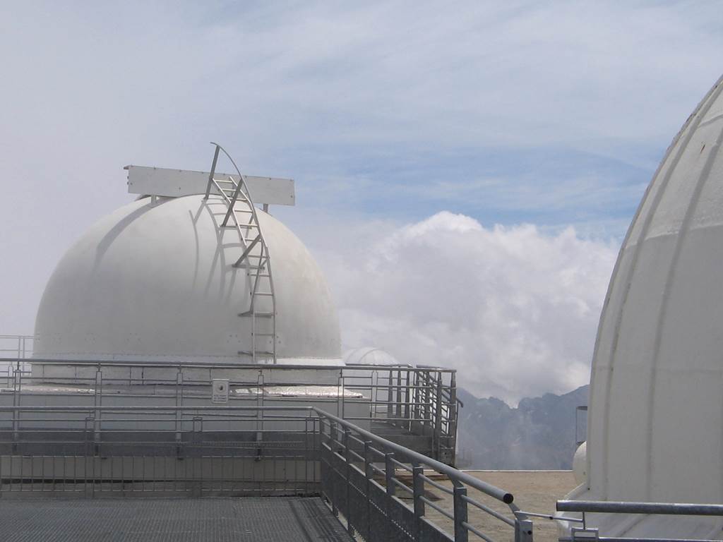
In the late 19th century it was instead an astronomical observatory that man built there. Important scientific work has been accomplished there, including the very first project to map the moon for NASA, well before it opened to the public in 2000.
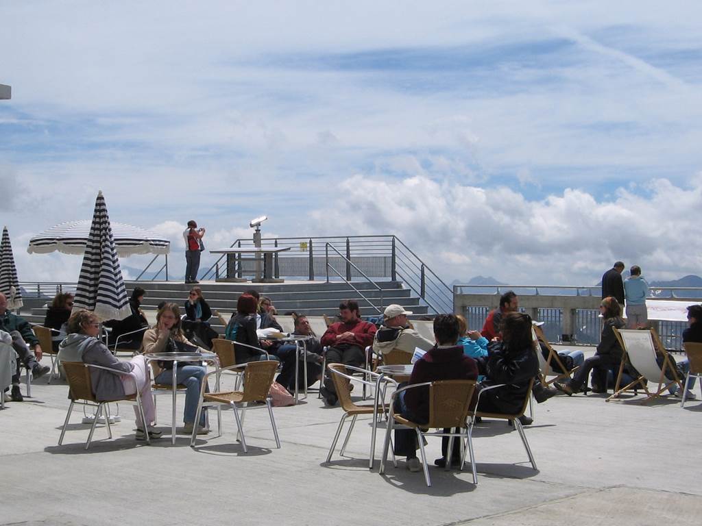
Surrounded by panoramic viewing terraces, the observatory takes up almost the entire summit. You will perhaps see its domes and antennas reflected in the sapphire waters of the Lac d’Oncet which lies at the end of the climb, while the cable car glides silently through the azure skies above you.
Allez-y en liO
En car : A moins de 10 mn à pied de l’arrêt LA MONGIE – La Mongie !
Cet arrêt est situé sur les lignes : TARBES – BAGNERES DE BIGORRE – LA MONGIE
BAGNERES DE BIGORRE – LA MONGIE
Environ 1 min (130 m).
Calculez votre itinéraire pour votre voyage en Occitanie avec les trains ou les cars LiO
Calcul itinéraires et recherche horaires
Bon plan
Pass Occitanie Rail Tour
Choisissez le pass Occitanie Rail Tour et son tarif préférentiel pour voyager avec liO à travers la région.
www.occitanie-rail-tour.com

