Le fleuve Hérault
GANGES , Hérault – natuurlijk erfgoed
Over
The Hérault rises on the Mont Aigoual massif in the Gard department and flows into the Mediterranean Sea at Agde after a journey of some 150km. Its main tributaries are the Vis, Lergue, Thongue and Peyne rivers.
The Hérault is a 160 km-long coastal river in southern France. It brings a lot of water to the region, but is prone to untimely flooding. It rises on the Mont Aigoual massif and flows into the Mediterranean Sea at Agde after a journey of some 150km.
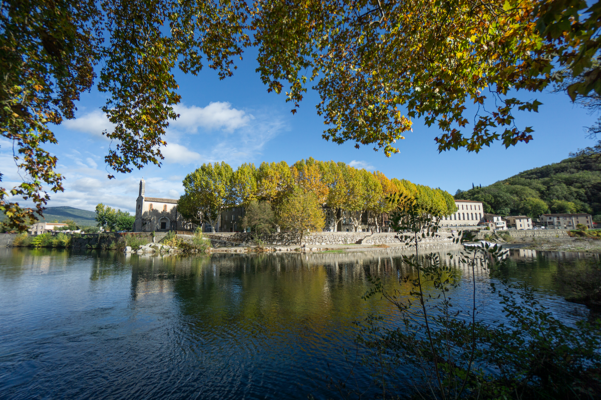
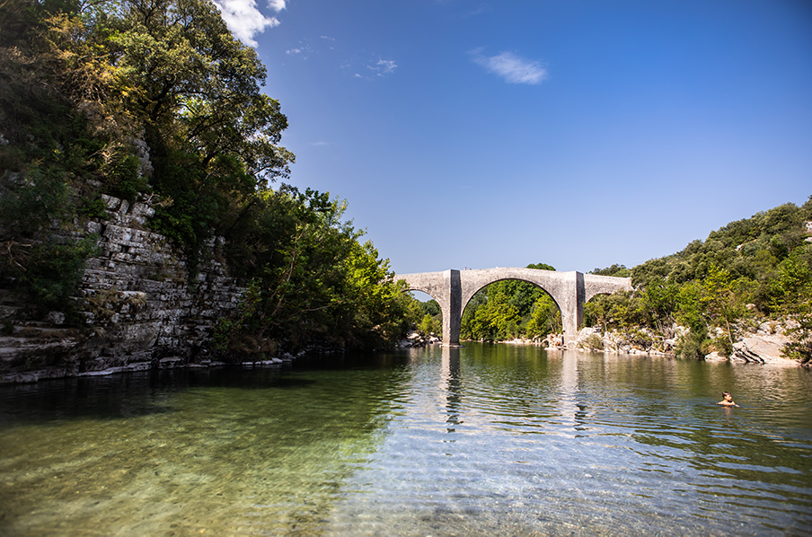
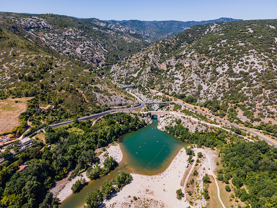
The most impressive part of the river can be seen between Laroque and Saint Guilhem le Désert, and forms the Grand Site de France des Gorges de l’Hérault.
Its flow is abundant: over 1.3 billion tonnes of water are discharged every year. Irregularity of flow is a major problem, with sudden floods linked to rainfall in the Aigoual massif, with a flow of 1,500 m³/s recorded on December 1, 1958 and 1,320 m³/s on December 19, 1997, i.e. the average flow of the Rhône at Valence. In August, on the other hand, the flow can drop to 7.5 m³/s. The water level in the Hérault basin is 543 millimeters/year, which is higher than the average for France. This coastal river is typical of the Mediterranean coastline.
Gesproken talen : Frans
Voordelen
Activiteiten
- Watersport
Allez-y en liO

En car : A moins de 10 mn à pied de l’arrêt GANGES – GENDARMERIE !
Cet arrêt est situé sur les lignes : LE VIGAN – NIMES
LE VIGAN – ALES
Montpellier – Ganges – Le Vigan
Environ 3 min (322 m).
Calculez votre itinéraire pour votre voyage en Occitanie avec les trains ou les cars LiO
Calcul itinéraires et recherche horaires
