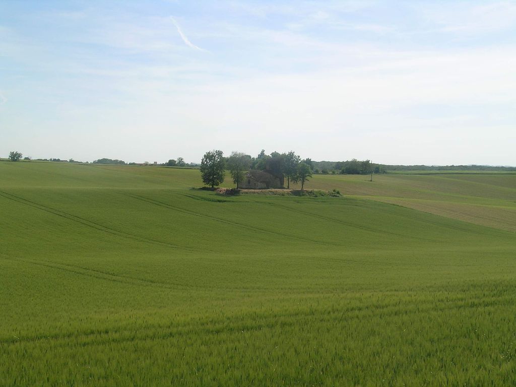
Forêt Domaniale et Campagne
SAINT-SAUVY , Gers – Itinéraire
Caractéristiques
Type : Boucle
Distance : 18,8km
Dénivelé : 219m
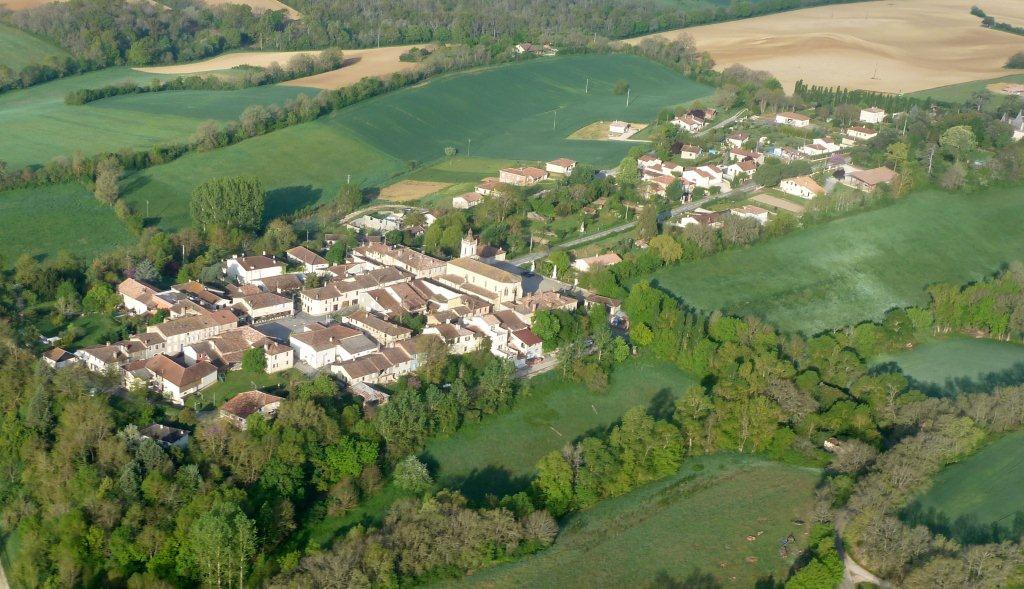
This 19 km route will make you discover the area of St Sauvy, its neighboring villages and its landscapes.
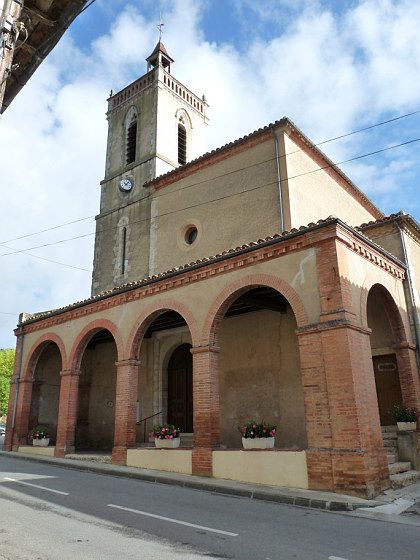
Departure place of the church of St Sauvy.
Go down to the town hall square and turn right towards Gimont.
Make 200m and turn right towards the stadium.
Continue straight ahead until the village of Ansan (4.5km)
Take the D172 (first left after the cemetery), road of Sainte-Christie towards Aubiet.
Go down for 3.5km to the mill and up to the D928.
Turn left on the D928 and take a right.
Continue and pass the lake on your right.
Arriving at the T-junction, turn left.
At the intersection with the D105, turn left.
Pass in front of the church of Travès on your left
Drive 5 km and cross the D928 straight to reach Saint-Sauvy.
Horario de apertura
- Del mercredi 1 janvier 2025 al mercredi 31 décembre 2025
Prestaciones
Equipamientos
- Aparcamiento
- Aparcamiento gratuito
Allez-y en liO
En car : A moins de 20 mn à pied de l’arrêt SAINT-SAUVY – St-Sauvy !
Cet arrêt est situé sur les lignes : AUCH – MONTAUBAN
Environ 12 min (1057 m).
Calculez votre itinéraire pour votre voyage en Occitanie avec les trains ou les cars LiO
Calcul itinéraires et recherche horaires
